Back to Weather

5-day forecast / Dallas, TX

WednesdaySunny101° / 80° 4%
ThursdayMostly Sunny100° / 79° 12%
FridaySunny100° / 78°
SaturdaySunny100° / 78°
SundaySunny100° / 78° 3%

Dallas Heat Advisory: Dangerous Heat Index Values Expected Today - Sep 16, 2 PM

Dallas weather, updated every four hours — local forecasts you can trust.

A Heat Advisory is active for Dallas as air temperatures reach 99F and heat index values climb to 105F. Residents should stay hydrated and limit outdoor exertion during the afternoon hours.

Demarcus Lindgren

September 16, 20262 min read

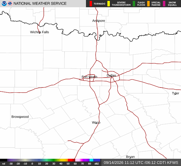
National Weather Service radar for North Texas (KFWS)

*As of Sep 16, 2 PM local time.*

Current Conditions and Active Alert

A Heat Advisory is currently in effect for the Dallas area, issued by the National Weather Service in Fort Worth. This moderate-severity alert is expected to remain active until this evening. As of this afternoon, the air temperature stands at 99 degrees Fahrenheit, but the combination of heat and humidity makes it feel like 102 degrees.

The relative humidity is 33 percent, with a dew point of 64 degrees. Winds are blowing from the south southeast at 8 mph, with gusts reaching 9 mph. The sky remains clear, allowing direct sunlight to intensify the thermal load on the region.

Today and Tonight Outlook

The forecast for today calls for sunny skies with a high near 101 degrees. The most significant risk comes from the heat index, which is expected to reach values as high as 105 degrees. Winds will continue to blow from the south southeast at speeds between 5 and 10 mph.

The chance of precipitation is minimal, at just 4 percent. As night falls, conditions will remain mostly clear. Temperatures will drop to a low around 80 degrees, though they may rise slightly to around 82 degrees overnight.

The heat index will remain elevated, reaching up to 102 degrees, meaning the air will still feel oppressive well into the night.

Tomorrow and Safety Reminders

Tomorrow will bring mostly sunny skies with a high near 100 degrees. The heat index is projected to peak at 106 degrees, indicating continued dangerous heat conditions. Winds will be lighter, ranging from 0 to 10 mph from the southeast.

The chance of rain increases slightly to 12 percent, but no significant precipitation is expected. Given the sustained high heat index values, it is crucial to take standard safety precautions. Residents should drink plenty of water, limit strenuous outdoor activities during the hottest parts of the day, and check on elderly neighbors or those without access to air conditioning.

Avoid leaving pets or children in parked vehicles, as temperatures can rise rapidly in enclosed spaces.

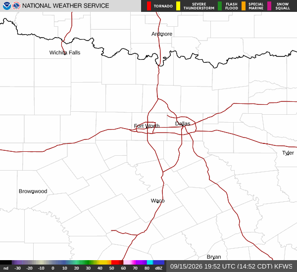
National Weather Service radar for North Texas (KFWS)

Sources

National Weather Service radar

National Weather Service forecast data

Open-Meteo weather data

Share

Demarcus Lindgren

Demarcus Lindgren covers weather, storms, and seasonal life around Dallas.

Related Stories

More in Sport