*As of Sep 30, 2 PM local time.*
Current Conditions and Alert Overview
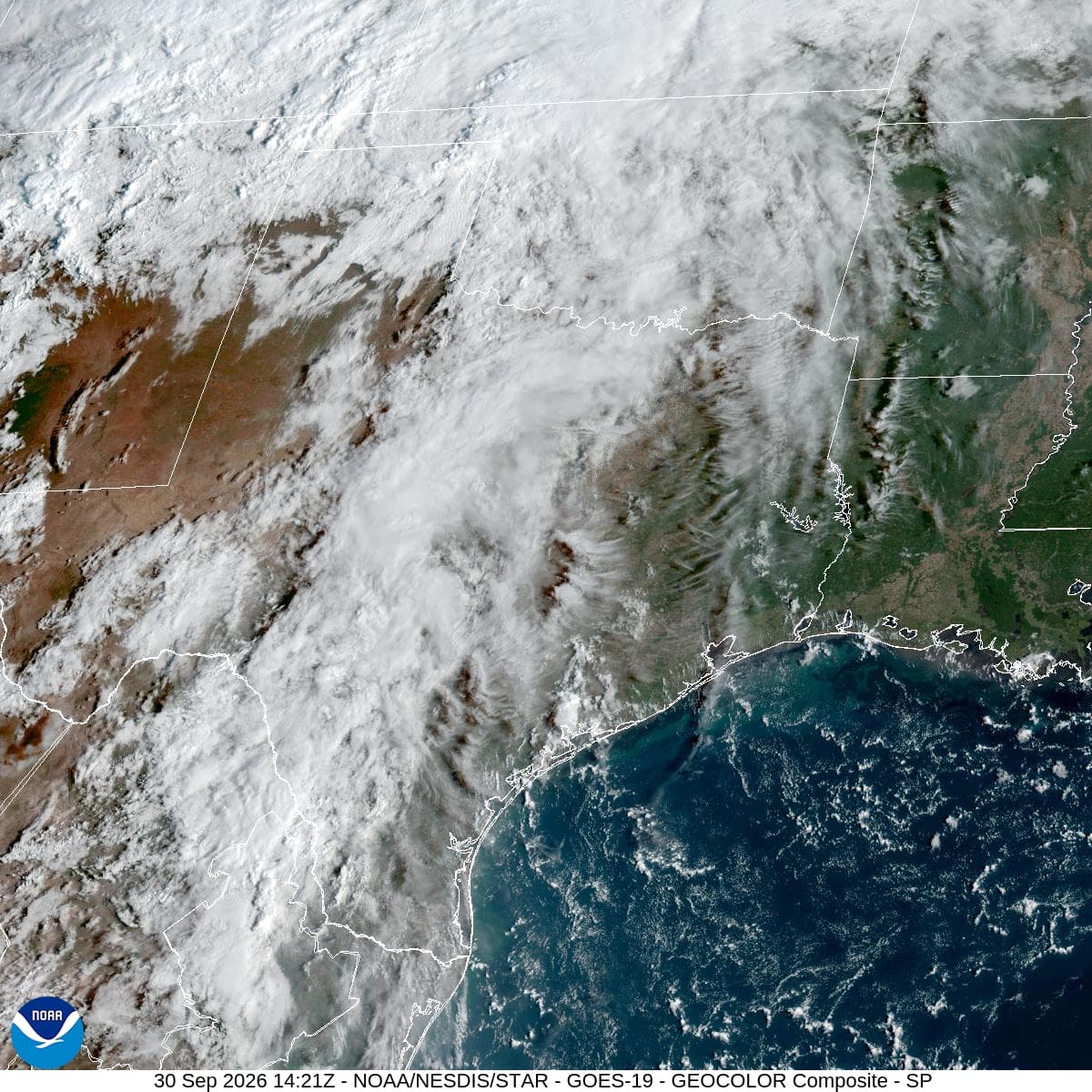
Dallas residents are facing a combination of intense heat and rising flood risks this afternoon. The National Weather Service has issued a Flood Watch with severe severity and future urgency, effective from September 30 at 4:40AM CDT until October 2 at 7:00AM CDT. This alert signals that conditions may become favorable for flooding in the area.
Right now, the air temperature stands at 90F, but the humidity makes it feel significantly hotter. The relative humidity is at 52%, with a dew point of 70F, contributing to a feels-like temperature of 95F. Winds are blowing from the south at 15 mph, with gusts reaching up to 21 mph. The sky remains cloudy as the region braces for changing weather patterns.
Today and Tonight Forecast
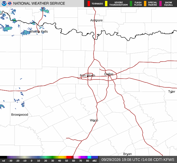
Today, expect a high near 94F. The heat index will climb to values as high as 101, making it feel even more oppressive. There is a 31% chance of precipitation, with scattered showers and thunderstorms possible. New rainfall amounts less than a tenth of an inch are anticipated.
Tonight, the risk of rain increases significantly. Scattered showers and thunderstorms are expected before 1am, followed by widespread showers and thunderstorms. The sky will be mostly cloudy with a low near 75F, though temperatures may rise to around 77 overnight.
The heat index will remain high at values as high as 98. Winds will shift to south southeast at 10 to 15 mph, with gusts up to 30 mph. There is an 80% chance of precipitation, with new rainfall amounts between a half and three quarters of an inch possible.