Back to Weather

5-day forecast / Dallas, TX

ThursdayShowers And Thunderstorms Likely76° / 71° 72%
FridayShowers And Thunderstorms78° / 68° 89%
SaturdayShowers And Thunderstorms Likely77° / 67° 72%
SundayChance Showers And Thunderstorms81° / 64° 30%
MondayMostly Sunny81° / 61° 4%

Dallas Flood Watch in Effect as Heavy Rain and Humidity Persist - Oct 1, 2 PM

Dallas weather, updated every four hours — local forecasts you can trust.

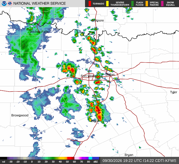
A severe Flood Watch is active for Dallas through tomorrow morning. Current conditions are saturated with 100% humidity, and heavy showers with thunderstorms are expected to continue today and tomorrow.

Demarcus Lindgren

October 1, 20262 min read

National Weather Service radar for North Texas (KFWS)

*As of Oct 1, 2 PM local time.*

Active Alerts and Current Conditions

A Flood Watch of severe severity remains in effect for the Dallas area until 7:00 AM on October 2. This alert was issued by the National Weather Service in Fort Worth, signaling a significant risk for flooding due to ongoing precipitation.

Right now, the atmosphere is fully saturated. The air temperature sits at 72F with a feels-like temperature of 73F. Relative humidity is at 100%, and the dew point matches the air temperature at 72F. Light rain is currently falling from the sky. Winds are blowing from the south at 6 mph, with gusts reaching up to 16 mph.

Forecast for Today and Tonight

The National Weather Service indicates that showers and thunderstorms will be likely before 4pm today, followed by a chance of these conditions continuing later. The sky will remain cloudy throughout the day. Temperatures will reach a high near 76F.

South winds may gust as high as 20 mph. There is a 70% chance of precipitation, with new rainfall amounts between a quarter and half of an inch possible.

Tonight, conditions will shift slightly. A chance of showers and thunderstorms is expected before 10pm, after which showers and thunderstorms will become the primary driver. The sky will be mostly cloudy.

Lows will drop to around 71F, though temperatures may rise to around 73F overnight. Southeast winds will be around 5 mph. The chance of precipitation jumps to 90%, with new rainfall amounts between 1 and 2 inches possible.
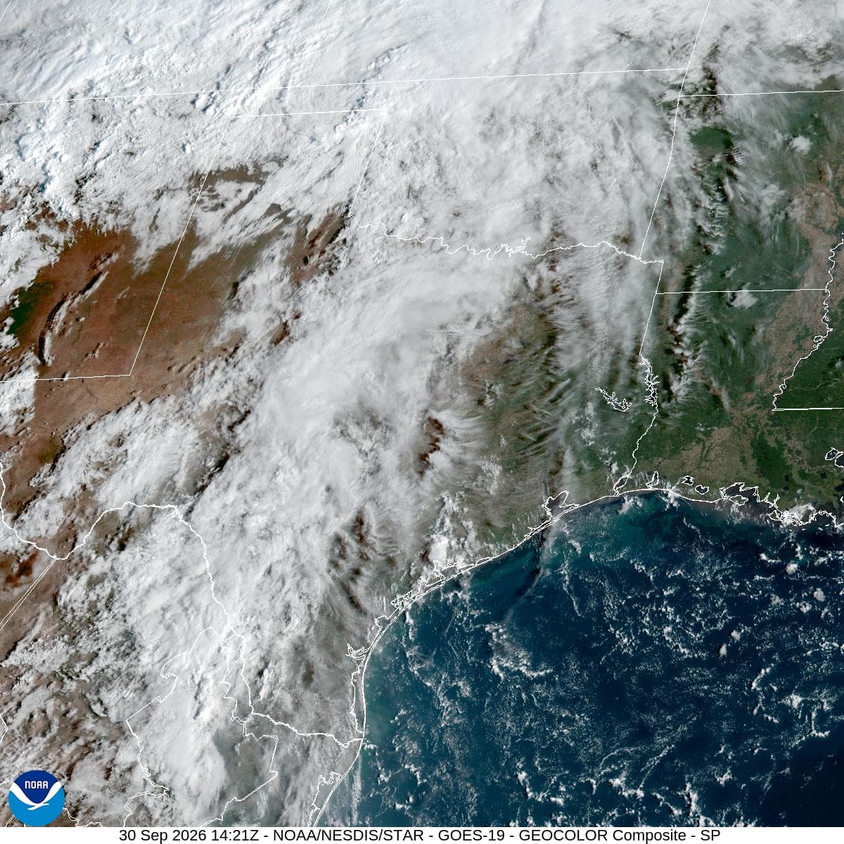
Outlook for Tomorrow

Rainy conditions are expected to persist into tomorrow. Showers and thunderstorms will continue, keeping the sky cloudy. Highs will reach near 78F. Winds will shift to the east at 5 to 10 mph. The chance of precipitation remains high at 90%, with new rainfall amounts between 1 and 2 inches possible.
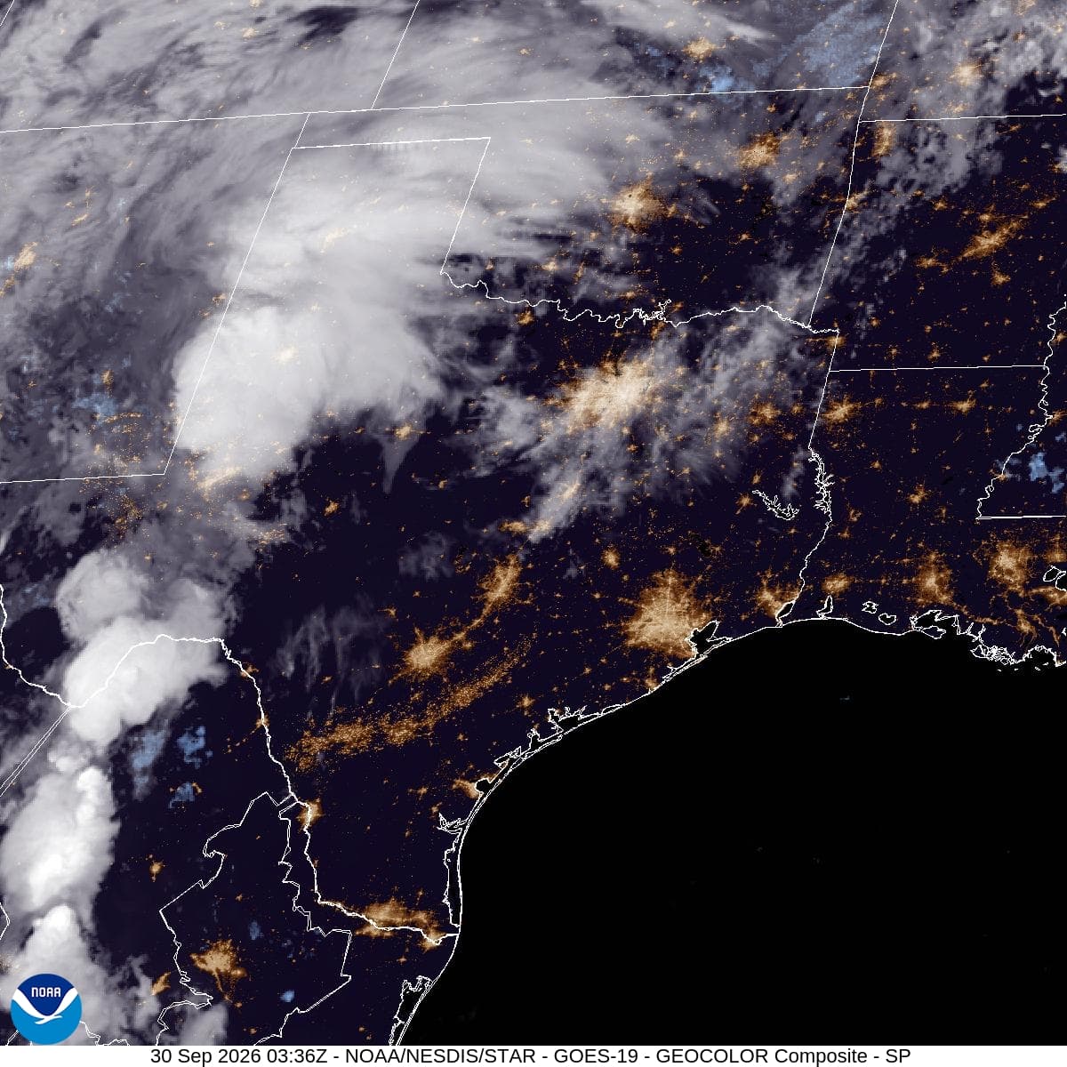
As heavy rain continues, residents should remain vigilant. Low-lying areas are particularly vulnerable to rapid water accumulation. Please monitor local news for updates on road conditions and potential flooding. Stay safe and avoid unnecessary travel during the heaviest downpours.

National Weather Service radar for North Texas (KFWS)

Sources

National Weather Service radar

National Weather Service forecast data

Open-Meteo weather data

Share

Demarcus Lindgren

Demarcus Lindgren covers weather, storms, and seasonal life around Dallas.

Related Stories

More in Sport