Back to Weather

5-day forecast / Dallas, TX

SundayScattered Showers And Thunderstorms96° / 75° 28%
MondaySlight Chance Showers And Thunderstorms95° / 75° 23%
TuesdayMostly Sunny97° / 75° 11%
WednesdayShowers And Thunderstorms Likely93° / 74° 58%
ThursdayShowers And Thunderstorms Likely86° / 70° 80%

Dallas Air Quality Alert Issued Amidst Heat and Humidity - Sep 27, 12 PM

Dallas weather, updated every four hours — local forecasts you can trust.

An active air quality alert is in effect for Dallas as temperatures soar near 96 degrees with a dew point of 70F. Scattered storms are possible today and tomorrow.

Demarcus Lindgren

September 27, 20262 min read

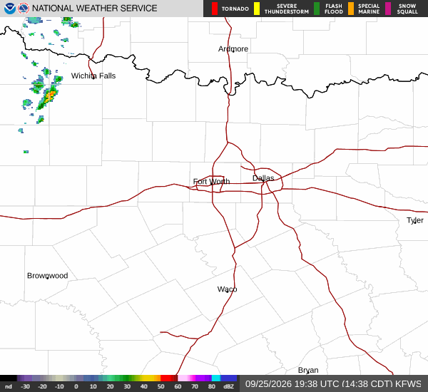
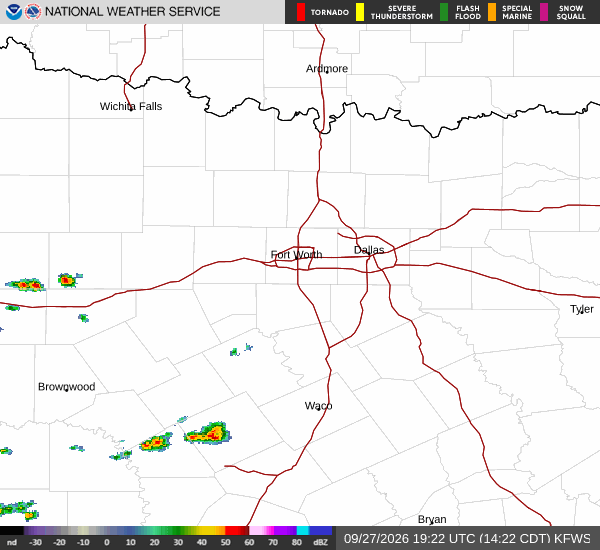
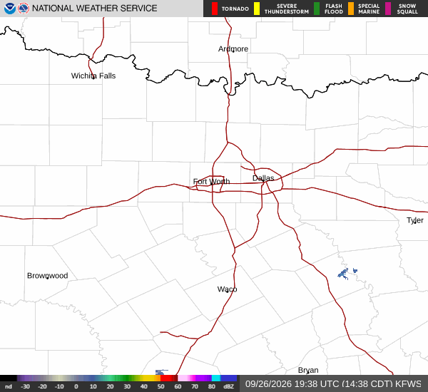
National Weather Service radar for North Texas (KFWS)

*As of Sep 27, 12 PM local time.*

Current Conditions and Alert Status

Residents in Dallas, TX, are currently under an active Air Quality Alert issued by the National Weather Service. This advisory remains in effect as the region experiences significant heat and humidity. Current observations show an air temperature of 88F with a feels-like temperature of 93F.

The relative humidity stands at 55%, supported by a dew point of 70F, which contributes to the muggy atmosphere. Winds are blowing from the south at 8 mph, with gusts reaching up to 11 mph, under clear skies.

Forecast for Today and Tonight

The National Weather Service forecasts scattered showers and thunderstorms for today. Temperatures will climb to a high near 96F, with heat index values potentially reaching as high as 99. The chance of precipitation is listed at 30%, though any new rainfall amounts are expected to be less than a tenth of an inch. Winds will shift to the south around 5 mph.

Tonight, conditions will remain partly cloudy with a low around 76F. Scattered showers and thunderstorms may continue, maintaining a 30% chance of precipitation. Southeast winds will hover around 5 mph. Again, any measurable rain is likely to be minimal, staying under a tenth of an inch.

Outlook for Tomorrow

Tomorrow brings mostly sunny skies with a high near 96F. Temperatures may dip slightly to around 94F in the afternoon. The heat index will remain elevated, with values as high as 99.
A chance of showers and thunderstorms persists with a 30% probability. South southeast winds are expected to increase to 5 to 10 mph. Any new rainfall amounts are forecast to be less than a tenth of an inch.

Tomorrow night will see partly cloudy skies with a low around 77F. There is a slight chance of showers and thunderstorms before 7pm, followed by a 20% chance of precipitation later in the night. Temperatures may rise to around 79F overnight. South southeast winds will continue at 5 to 10 mph.

Safety Reminders

Given the high heat index values and active air quality alert, residents are advised to stay hydrated and limit prolonged outdoor exertion during peak heat hours. Monitor local updates for any changes to the air quality advisory.

National Weather Service radar for North Texas (KFWS)

Sources

National Weather Service radar

National Weather Service forecast data

Open-Meteo weather data

Share

Demarcus Lindgren

Demarcus Lindgren covers weather, storms, and seasonal life around Dallas.

Related Stories

More in Sport

Sport

Prescott has seen Minter’s defense before. That is only a start.

Dak Prescott’s Friday remarks before Sunday’s Ravens game framed Dallas’ offensive task clearly: use familiarity with Jesse Minter to prepare, then rely on initiative and execution rather than pretending one past meeting solved anything.

Owen IversonSeptember 26, 20263 min read