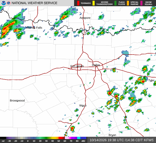
*As of Oct 15, 2 PM local time.*
Active Alert and Current Conditions
The National Weather Service has issued a Wind Advisory for the Dallas region, which remains in effect until 7:00 PM CDT on October 16. This moderate-severity alert indicates that strong winds are expected to impact the area over the next day.
As of this Thursday afternoon, conditions are currently mild but breezy. The air temperature stands at 86F, with a feels-like temperature of 88F due to 52% relative humidity and a dew point of 66F. Winds are blowing from the south at 4 mph, with gusts reaching up to 8 mph. The sky remains mostly clear overhead.
Forecast for Today and Tonight
Today will remain sunny with a high near 88F. A low near 58F is expected later tonight. There is only a 6% chance of precipitation during the day.
Tonight brings a shift in weather patterns. After an initial period, there is a slight chance of showers and thunderstorms between 7pm and 10pm, followed by a broader chance of rain. The sky will turn mostly cloudy with a low around 58F, though temperatures may rise slightly to around 63F overnight.
Winds will shift to the north northwest at 5 to 15 mph, with gusts as high as 30 mph. The chance of precipitation rises to 40%, with new rainfall amounts less than a tenth of an inch possible.
Tomorrow Outlook
Tomorrow will see a significant cooldown and wind increase. A chance of rain showers is expected before 7am, followed by mostly sunny skies. The high will drop to near 65F.